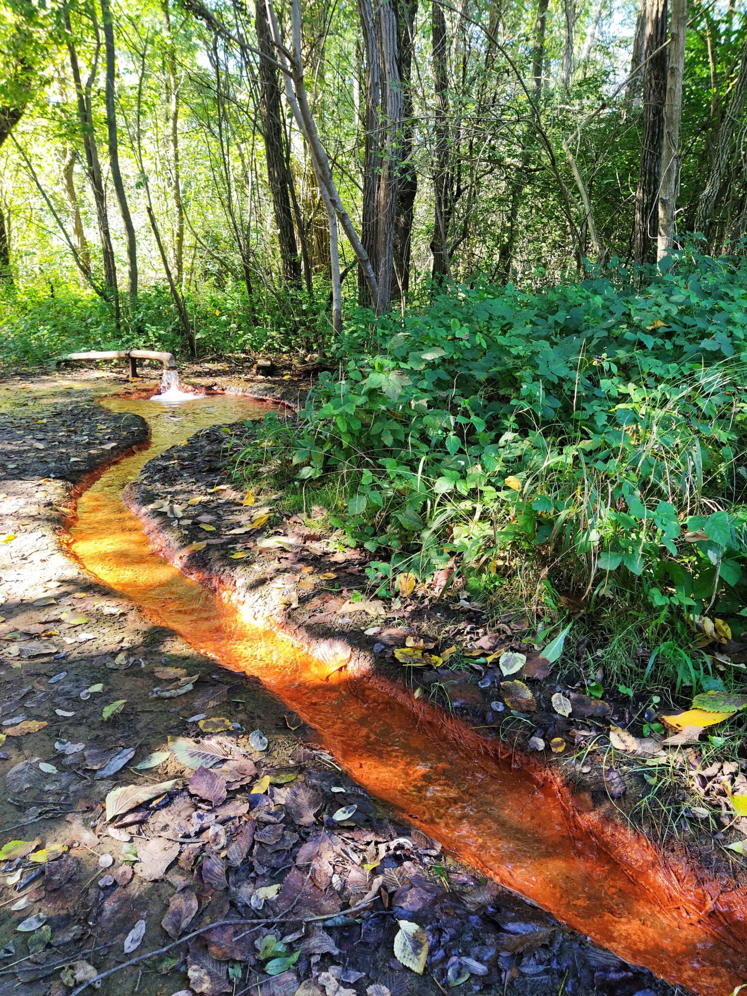
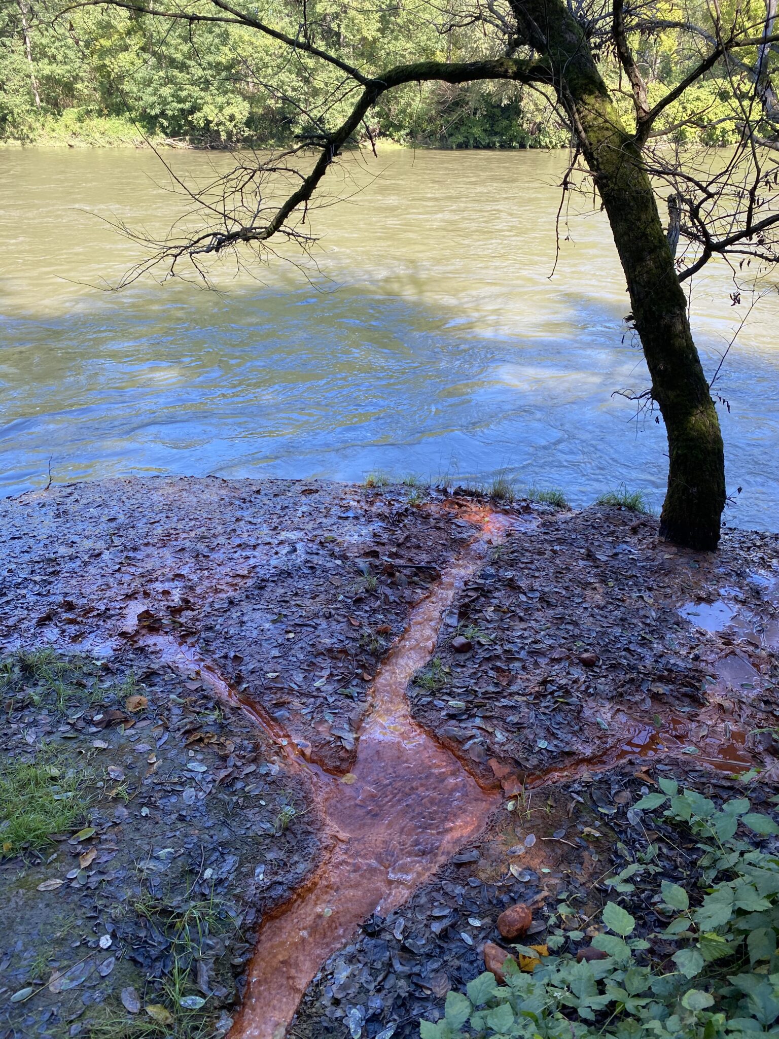
The Petanjci and Radenci area is reknown for its rich mineral water springs and for centuries-old tradition of spas and thermal pools. There are more than 20 active mineral water springs in the area, which have a high content of natural carbon dioxide in the water. Petanjski vrelec (Petanj Spring) on the right bank of the river Mura is very picturesque, recognisable by the fiery red spring flowing into the Mura.
The area has recently become more and more famous for hiking and biking. There are numerous hiking trails along the river.
There is a strong tradition of dividing agricultural land into land-parcel stripes in this area. The larger agricultural areas along the Mura River, created after the regulation of the Mura River in areas where the water had previously spilled, are the direct result of land reclamation from the river. A striking example is the area of Petanjci, where traditional parcelling exists alongside consolidated fields which encroach into the area of the Natura 2000 reserve, a site of European conservation importance.
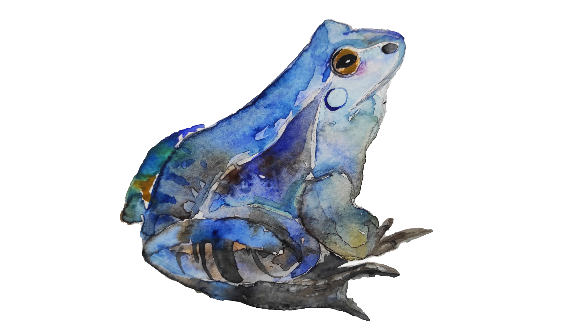
The Moor frog (Rana arvalis) is a frog that lives in wetlands and floodplain forests along the Mura River, where it breeds and lays its webs in shallow water. They avoid intensively cultivated agricultural areas.
In this part of the Mura, especially between Petanjci and Gibina, a significant difference in land use over time can be noted. While the intensity of agriculture between Petanjci and Bakovci has increased in recent decades, there is a noticeable abandonment of agriculture and gradual natural reforestation towards Dokležovje, Bistrica and Gibina. In the process of de-agrarianisation and reduction in the agricultural population, uncultivated land is often leased to the larger remaining farmers.
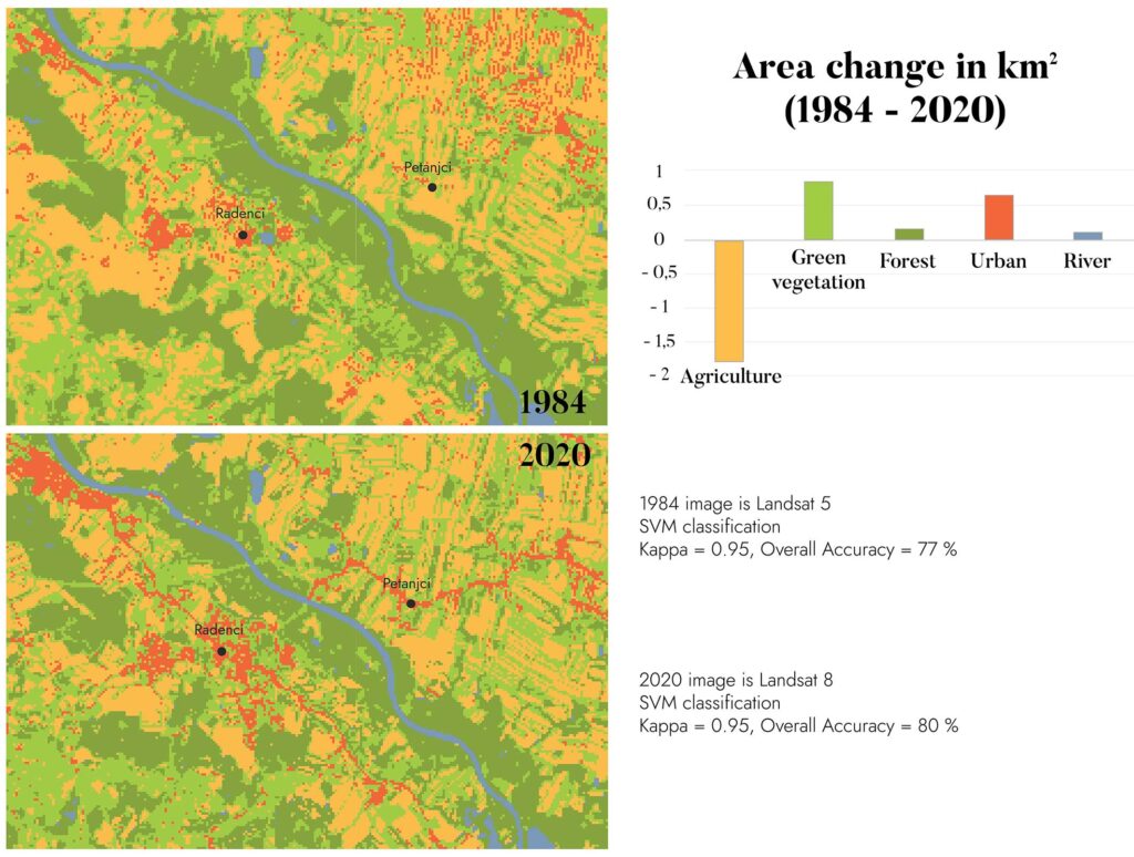
This image shows the classification results of two Landsat satellite images. The graph shows that the agricultural area has decreased between 1984 and 2020, although there is still a lot of arable land cultivated in the Petanjci region. Green vegetation (mainly meadows) and urban areas have increased, which is partly due to the fact that different sensors of the satellite images (Landsat 5 and Landsat 8) were used in the classification, showing different levels of detail, so the classification results differ for the two images. The river and water areas have not changed drastically in this area over a period of almost 40 years.
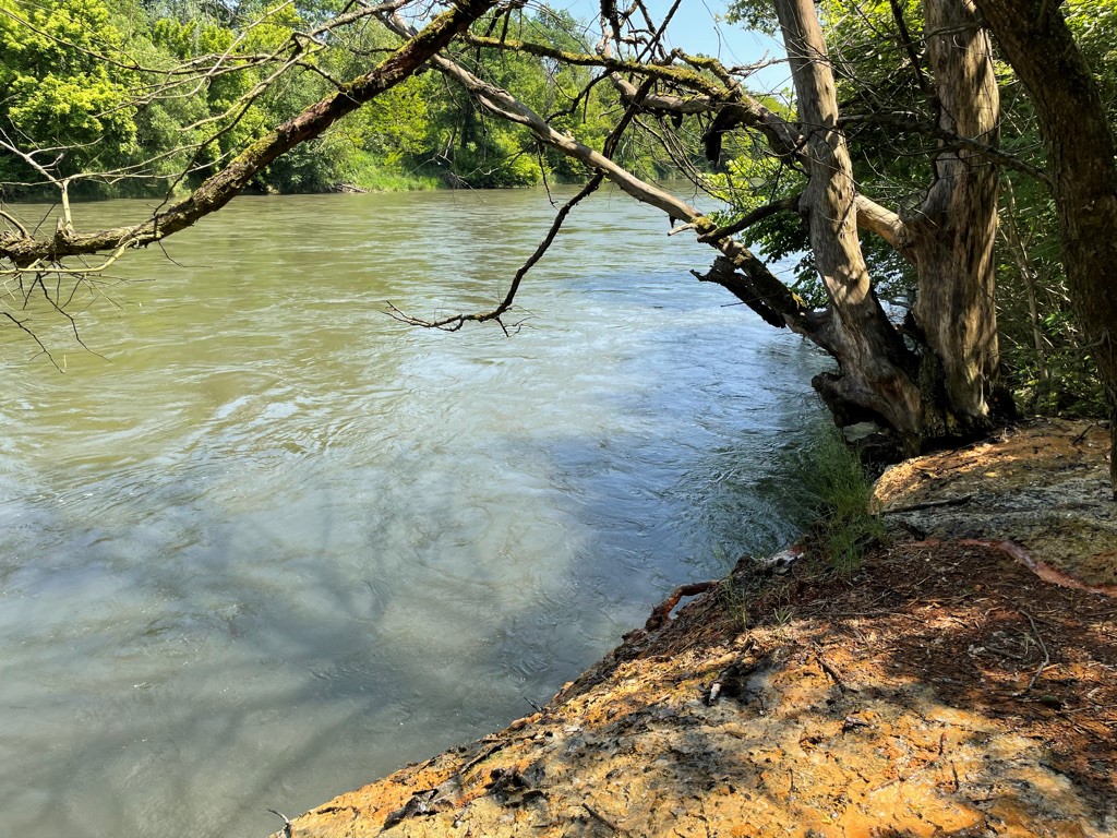
Major changes in the landscape have not been detected in this area by observing and analysing historical remote sensing data, which focus on spatial data that view the land from above. However, by following the narratives of local people, doing fieldwork in the area and observing field data, one can clearly see vertical changes representing the deepening of the Mura River along its banks. Therefore, some of the spatial changes are not visible when observed only from a birds-eye perspective.
The following movie describes the processes of erosion and deepening of the riverbed of Mura. Cases of low water as a result of the construction of hydroelectric power plants in Austria are shown, as well as the accelerating effect of radical consequential regulation on long sections. Apart from erosion, a case of human activities transforming the river wetlands first into a gravel pit and, after its submersion into areas important for tourism and recreation.
The following movie describes the processes of erosion and deepening of the riverbed of Mura. Cases of low water as a result of the construction of hydroelectric power plants in Austria are shown, as well as the accelerating effect of radical consequential regulation on long sections. Apart from erosion, a case of human activities transforming the river wetlands first into a gravel pit and, after its submersion into areas important for tourism and recreation.